
Hurricane Milton made landfall on Wednesday night, near Siesta Key, Florida, as a Category 3 storm, bringing ashore 120 mile-per-hour winds, heavy rain, and as much as a 10-foot storm surge into regions of the state still reeling from the impacts of Hurricane Helene just two weeks ago. By Thursday morning, Milton had crossed Florida and was headed out to sea, its hurricane force winds intact.
“First responders have been working throughout the night,” Florida Governor Ron DeSantis said at a press conference on Thursday morning. “The storm was significant but, thankfully, this was not the worst-case scenario.”
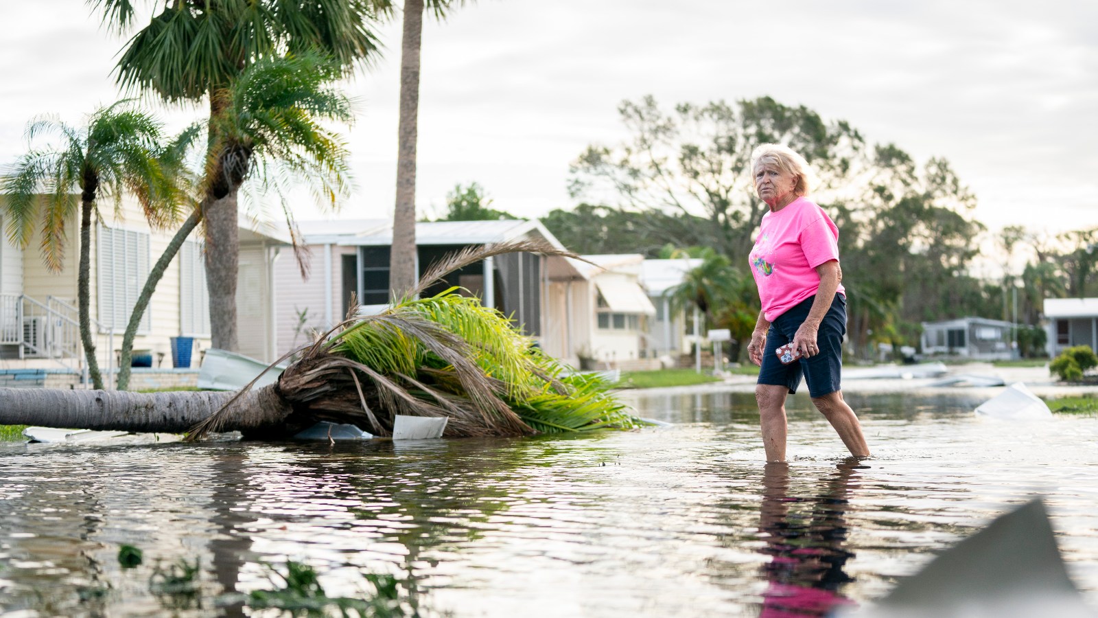
While the state broadly avoided catastrophe, Milton still hit Floridians hard. In some coastal communities, floodwaters rose nearly up to second-floor levels, spurring dangerous middle-of-the-night rescues. Powerful winds ripped roofs off buildings — including Tropicana Field in St. Petersburg — and left more than 3 million homes and businesses without power. Farther inland, as much as 18 inches of rain fell in just a few hours, representing a 1 in 1000 year event. In the hours preceding landfall, the storm also kicked up roughly two dozen tornadoes across the state, one of which officials say hit a retirement community. At least six people died in the storm, and some 80,000 ended up in shelters.
“We have flooding in places and to levels that I’ve never seen, and I’ve lived in this community for my entire life,” Bill McDaniel, the city manager of Plant City told The Guardian, calling it “absolutely staggering.”
Bryan R. Smith / AFP via Getty Images
Floridians were still cleaning up debris and damage from Hurricane Helene when Milton formed in the Gulf of Mexico. Fueled by near record-warm waters from a waning El Niño and climate change, the storm jumped from a Category 1 to a Category 5 with 180 mph winds in just 24 hours — one of the most rapid intensifications in history. Forecasts originally had the storm’s northern right side, also known as the “dirty side” of a hurricane, hitting Tampa, which would have funneled water straight up the bay into one of the lowest-lying cities in the United States. The hurricane weakened slightly, however, and came ashore a bit south, which not only avoided the most dire flooding possibilities, but actually sucked water out of the bay.
“Do not walk out into receding water in Tampa Bay,” the Florida Division of Emergency Management, or FDEM, warned on X. “The water WILL return through storm surge and poses a life-threatening risk.”
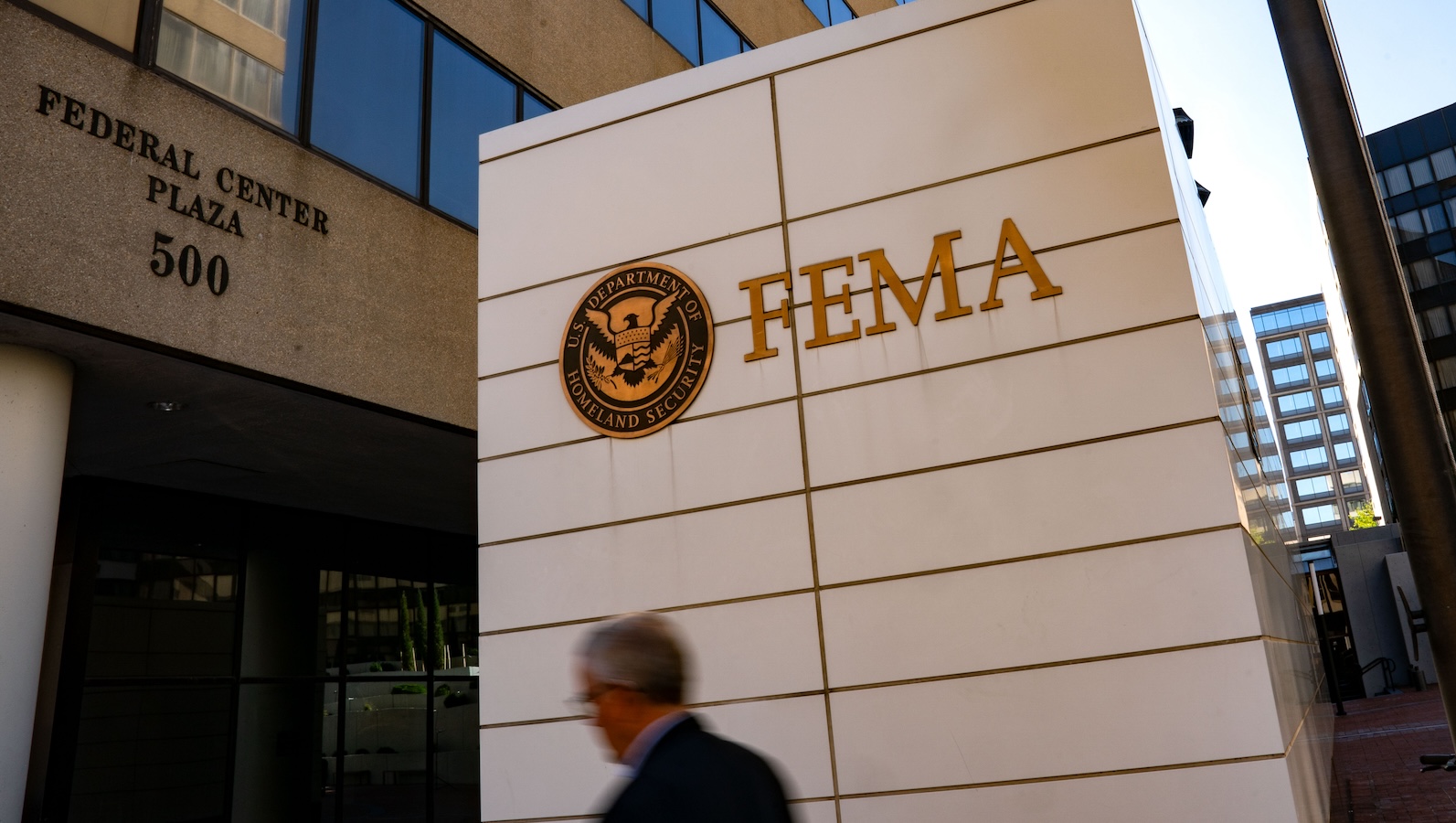
The region’s back-to-back hurricanes represent the compounding disasters that scientific models have predicted will become more frequent with climate change. They also come at a time when the Federal Emergency Management Agency is running out of money and staff. As Milton approached, more than 40 congressional Democrats wrote to Speaker of the House Mike Johnson, imploring him to reconvene the chamber to vote on additional funding for FEMA. Johnson has previously said he won’t take up the matter until after the November 5 elections — a month from now.
At Thursday morning’s press conference, officials continued to urge caution across the state. Rivers could still flood, roads remained impassable, and debris was abundant. They also warned residents to be careful as they began to clean up, as downed lines and other hazards could be extremely dangerous.
“We do not need Florida Man and Florida Woman out there cutting random lines as they go,” said Kevin Guthrie, the executive director of FDEM. “Let our crews get out there and get everything back up and running.”
Source link
Tik Root grist.org