
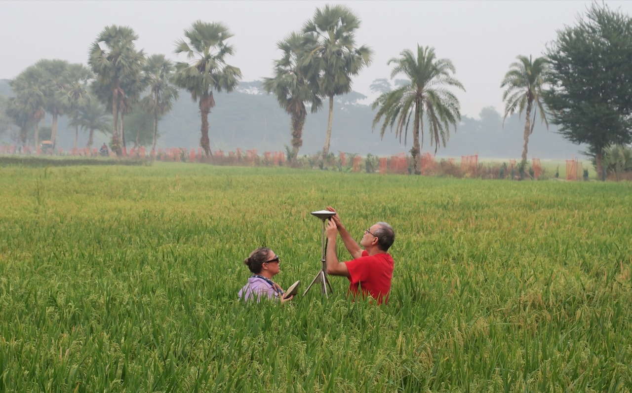
I am traveling around the coastal zone of the world’s largest delta in Bangladesh repairing global navigation satellite systems (GNSS) instruments. With these more expensive instruments, we can measure the sinking of the delta to better than 1 mm/year.
All deltas are sinking. What is important is the balance of sea level rise, the land sinking and the sediment filling the space. In the Mississippi Delta, sea level rise and subsidence outpace sedimentation, so Louisiana is losing land at a rapid pace. Here in Bangladesh, there is enough sediment, but it is distributed differently than the subsidence; we are measuring where it is keeping pace and where it is not. We have co-located our GNSS with RSET-MH (rod surface elevation tables-marker horizons) that measure elevation change and sedimentation rates. Together, they provide an estimate of both deep and shallow subsidence, to help us understand how it varies with depth and where the land is keeping up with sea level rise and subsidence.
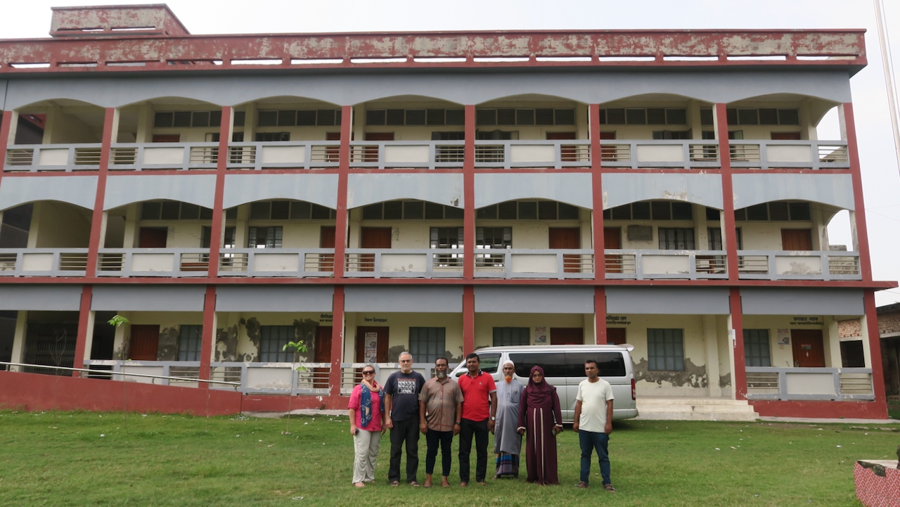
Right now, the RSET team is far ahead of us since we had to return to our site at Barishal University before heading west to Sonatola, a small village on the edge of the Sundarbans Mangrove Forest, about four hours away. With all the bridge building going on here, we only needed to take one car ferry to get there. We grabbed some snacks for lunch as we waited for our turn to board. I was pleasantly surprised to see road improvements that let us cut across the peninsula where Sonatola is located rather than having to drive around the perimeter.

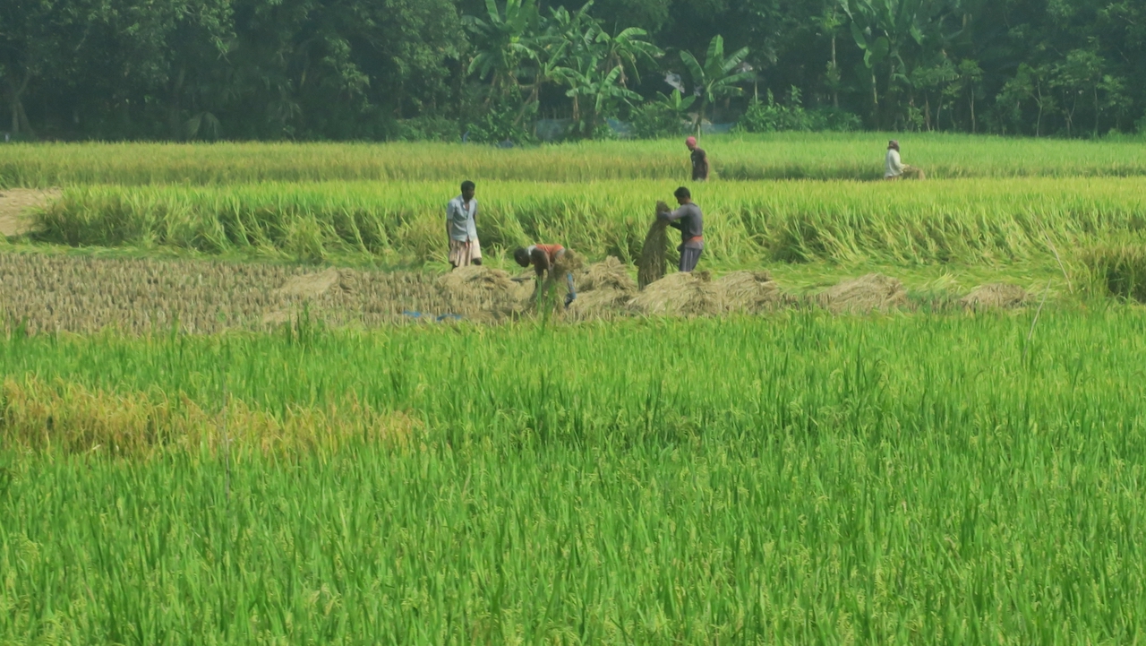
We arrived as the RSET team had just finished the first of their two instruments—they are paired to be inside and outside the polder (embankment) protecting the land from flooding. However, the polders also prevent sediment from entering inside the poldered land, much of which is now considerably lower in elevation than the land naturally open to the rivers outside of the polders. Our investigation of Polder 32 revealed that the land inside was 1-1.5 m below the land outside. After the polder was breached in several places by a cyclone in 2009, the island was underwater for 10 hours a day.

In Sonatola, I have two GNSS. One is on a school building and the other on an RSET rod next to Carol Wilson’s RSET in Bachchu’s field. When he saw me emerge from the van, he ran toward me with outstretched arms and gave me a giant bear hug. It has been a year and a half since I’ve been here. While I could see my antenna poking out above the rice in Bachchu’s field, we decided to start with the GNSS at the school. Bachchu came with us as he is a caretaker and has the keys to the building. This site was online but had signal from the antennas. After some investigation, we found the problem: someone had ripped the antenna wire from the equipment box. We attached a new termination to the coaxial cable and reconnected it. It worked! The instrument quickly saw 10 GPS satellites.
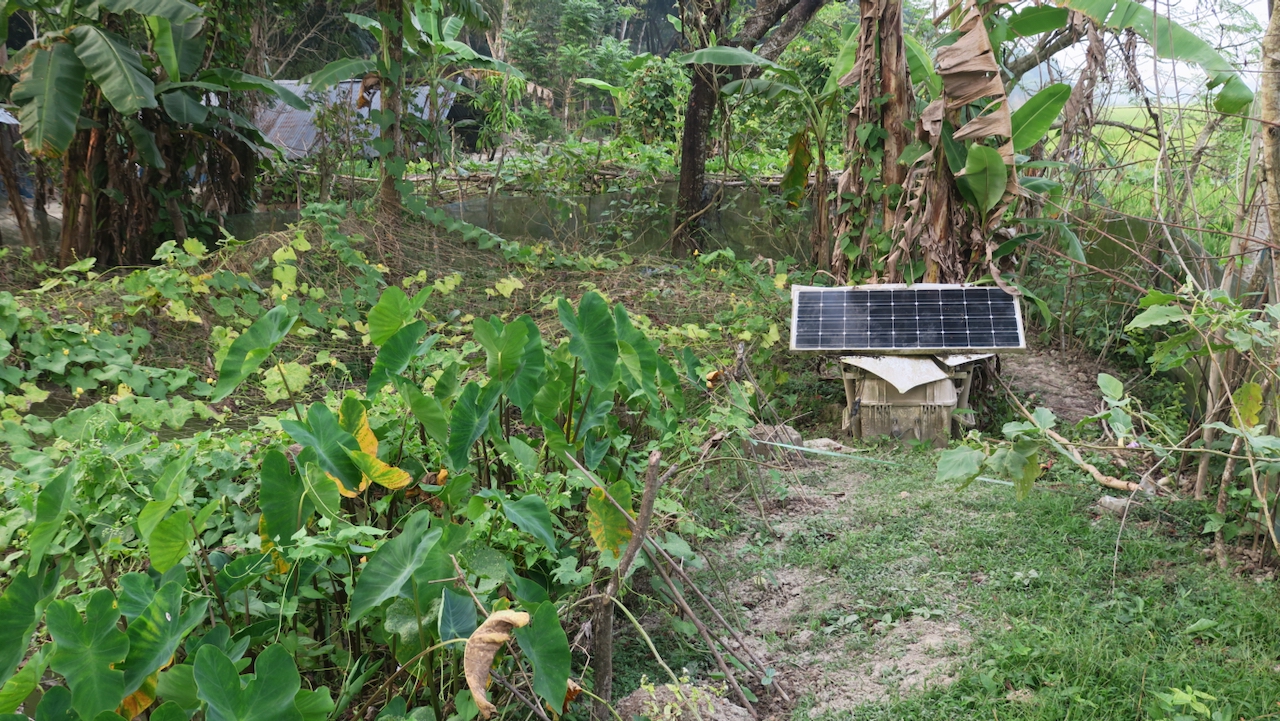
We headed back to Bachchu’s garden where the other equipment box was. The battery was good, as was the receiver. The problem lay with the most sensitive and touchy part of the system, the modem. This was Zohur Ahmed’s expertise following training by Adam Woolace, the engineer with us for the first part of the trip. With the really poor cellular signal in this remote area, we could not get it upgraded and working. With the light fading, we decided to take the modem with us to Khulna, where we were staying, three hours away. This meant that we had to return on our one spare day before boarding the boat for the next leg of the trip.

The next morning Rafiq and his repaired van rejoined the RSET team. We all headed off on another three-hour journey to Baintola, west of Khulna. Carol joined the GNSS team in our car when we headed out. Close to the site, we wuld be going to visit a school where another project I am part of is outfitting solar-powered air conditioning for relief during heat waves.
This privately funded project based at MIT, JO-CREWSnet, is working to provide climate-change adaptation to Bangladesh, partnering with BRAC, the world’s largest NGO. Our three programs are using climate forecasts and agricultural modeling to project changes in crops and practices, establishing reverse osmosis clean water entrepreneurs in this seasonally water-stressed area with saline groundwater, and establishing pilot Adaptation Fortresses, cyclone shelters outfitted with solar-powered air conditioning to provide temporary relief to farmers and villagers. The 2024 heatwave here reached 111 degrees F with high humidity. Farmers worked their fields at night to avoid the worst of the heat. Crops failed, cattle died and ponds dried up forcing people to drink saline water.
We drove to a BRAC office and were joined by Bakibilla and other members of his team. We stopped in Baradal and visited the school that will be outfitted with A/C and solar power. I was hoping to see the construction, but it will start later this month and the details and permissions are still getting finalized. After spending some time at the school, we continued to our GNSS site. In this area, the roads are so bad that while we were able to drive on the embankment road close to the site, we had to switch to a pair of electric rickshaw vans to go the last couple of kilometers.
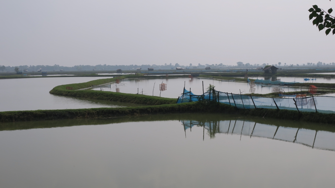
The RSET team had gone ahead and found the construction on a new polder, which is close to our GNSS. We arrived as they were getting started, so Carol joined them.
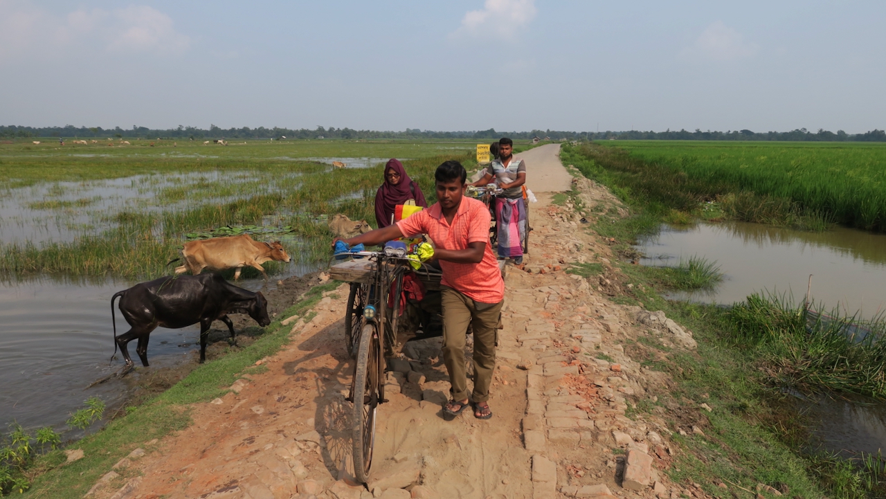
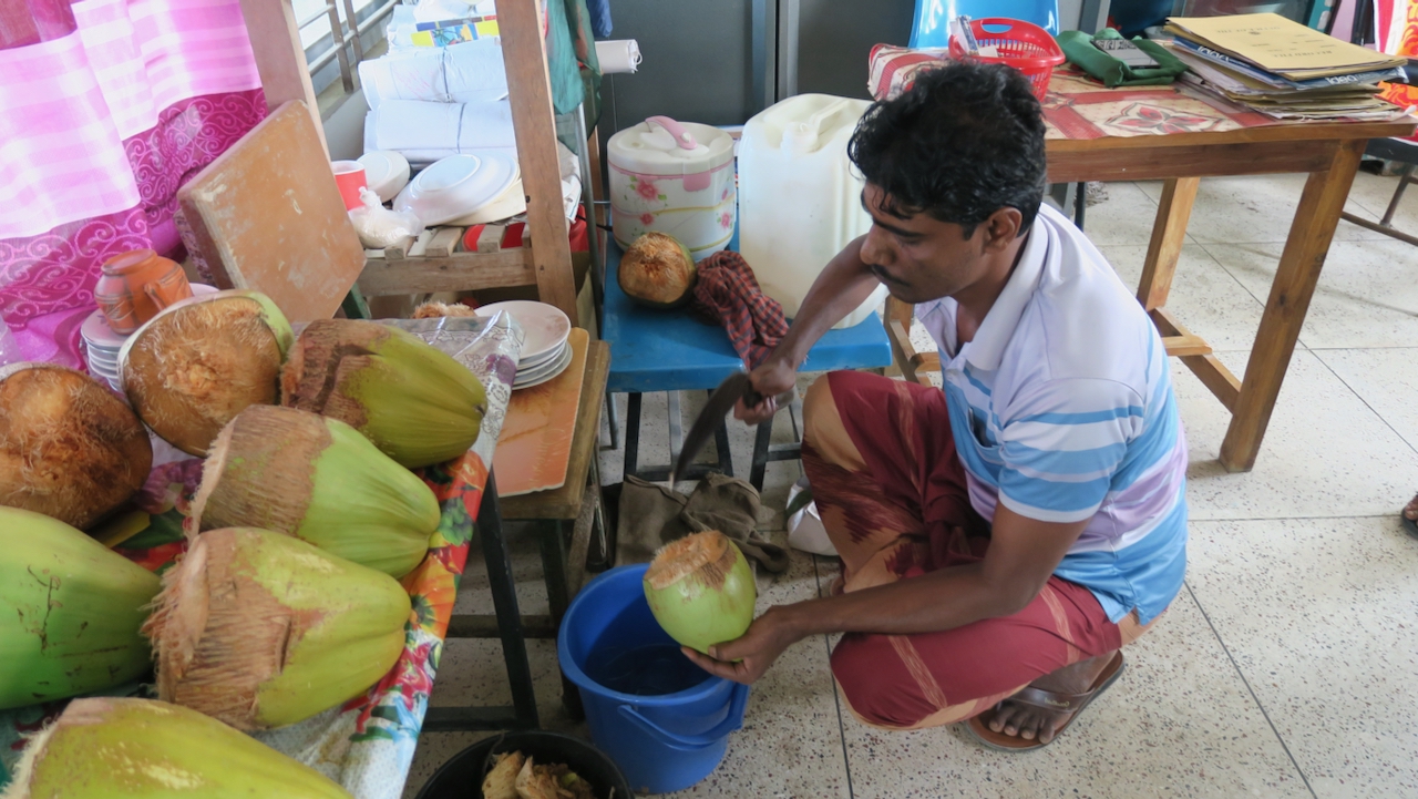
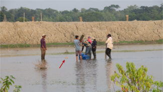
We used our telescoping ladder to get to the GNSS station on the roof and found it to be in pretty good shape, except for communications. However, because the modem was an older model that we didn’t have the firmware for, or a good cell signal, we left it recording without communications. I downloaded all the data stored since the site went offline. Perhaps the next time the RSET team visits, Zohur or Sanju can do the upgrade. The people at the school gave all of us refreshing green coconuts when we were done. As we left, we brought the RSET team their coconuts as they were starting for the flooded site. When we reached the better road, I walked over to watch as they started walking through the shallow water to their RSET. Afterward, they said it was actually easier than the other site with tall rice everywhere.
On the way back, we stopped at the BRAC office for snacks and tea. Then we started on the three-hour drive back to Khulna. That night, Zohur talked to Adam, and downloaded the firmware. The next morning we were supposed to leave very early to return to Sonatola, but it took Zohur a while to upgrade the modem and get it working. Finally, he succeeded and we headed back to the station. It was a six-hour round trip, but it only took a short while to replace the modem and for Adam to confirm that it was working from the U.S. Zohur now knows the working of the modems and firmware upgrades really well. With this knowledge, he would have been able to get the earlier sites working, but we had no time to revisit them. Meanwhile, the RSET team had a much needed day off in Khulna. We had yet another long day in the car, made longer by the wait at the ferry crossing.
By the time we returned, everyone had joined our boat for the next part of the trip, which includes sites inside the Sundarban Mangrove Forest, the largest in the world. With no roads, we will be traveling on the M/V Bawali, a 6-cabin, 60-foot tourist boat. For me, it is my sixth time on the Bawali. In addition, Sanju, who had gone home for a Manipuri festival, rejoined us for the rest of the trip. After 5 days of extremely long rides in a cramped van, traveling slowly past the polders and through the forest by boat is a very welcome relief.
Views and opinions expressed here are those of the authors, and do not necessarily reflect the official position of the Columbia Climate School, Earth Institute or Columbia University.
Source link
Mike Steckler news.climate.columbia.edu