
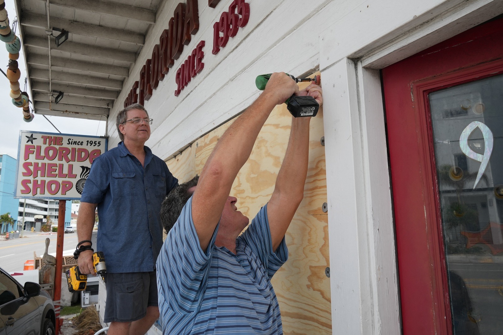
Less than two weeks after Hurricane Helene tore through the Southeastern United States, killing more than 200 people and causing perhaps hundreds of billions of dollars in property and economic damage, Hurricane Milton has spun up in the Gulf of Mexico and taken aim at Florida. On Monday, Milton reached Category 5 status with winds reaching as high as 180 mph, and it’s expected to cause widespread flooding with torrential rainfall and a towering storm surge when it makes landfall, likely around Tampa Bay on Wednesday.
How Milton got to this point is even more remarkable. A hurricane undergoes “rapid intensification” if its sustained wind speeds jump by at least 35 miles per hour within 24 hours. Helene did that before making landfall in the Big Bend region of Florida’s west coast. But Milton’s intensification has been nothing short of explosive: Wind speeds skyrocketed by 90 mph in 24 hours — at one point managing a 70-mph leap in just 13 hours — leaving meteorologists and researchers stunned.
It’s one of the fastest intensification events scientists have ever observed in the Atlantic. Even sophisticated hurricane models didn’t see it coming. “This is definitely extraordinary,” said Karthik Balaguru, a climate scientist who studies hurricanes at the Pacific Northwest National Laboratory. “The storm barely formed on October 5, and on October 7, it is a Cat 5 hurricane. That is very impressive.”
Like Helene before it, Milton formed under the perfect conditions for rapid intensification. A hurricane’s fuel is high ocean temperatures, and the Gulf of Mexico has been a warm bath in recent months, with temperatures over 80 degrees Fahrenheit, well above average figures. “Sea surface temperatures in this area are near record, if not record-breaking,” said Daniel Gilford, who studies hurricanes at Climate Central, a nonprofit research organization. “It’s a little bit difficult to say, actually.”
That’s because of an unfortunate irony: Hurricane Helene devastated Asheville, North Carolina, where the National Centers for Environmental Information stores data on ocean temperatures. “The sea surface temperature data that we rely on to make our day-to-day climate attribution calculations is actually unavailable to us,” said Gilford. “It’s been down for about 11 days now because of Hurricane Helene.”
Losing access to that data is making it harder to calculate how much climate change has contributed to Milton’s intensification. But Gilford can say with confidence that the sea surface temperatures in the Gulf of Mexico were made at least 100 times more likely because of climate change, and that’s a conservative estimate.
Hurricanes also like high humidity, which Milton has plenty of. And low wind shear — winds moving at different speeds at various heights in the atmosphere — meant Milton could organize and spin up nicely. “There’s nothing to impede the storm from the atmospheric standpoint,” Balaguru said.
Milton’s extreme intensification has the fingerprints of climate change all over it. For one, as the atmosphere warms, so too do the oceans, providing vast pools of fuel for hurricanes. Scientists are also finding that changes in atmospheric patterns have been decreasing wind shear in coastal regions. A difference in temperature between the land and sea also creates circulation patterns that boost the amount of humidity in the atmosphere.
So with higher humidity, warmer oceans, and weaker wind shear, hurricanes have everything they need to rapidly intensify into monsters. Indeed, scientists are finding a dramatic increase in the number of rapid intensification events close to shore in recent years. That makes hurricanes all the more dangerous: A coastal community might be preparing to ride out a Category 1 storm only for an unsurvivable Category 5 to suddenly come ashore.
In general, a warmer atmosphere can hold more moisture, so hurricanes have more moisture to wring out as rain. A recent study found that climate change caused Helene to dump 50 percent more rainfall in parts of Georgia and the Carolinas. Gilford expects climate change to also boost the rainfall that Milton dumps on Florida.
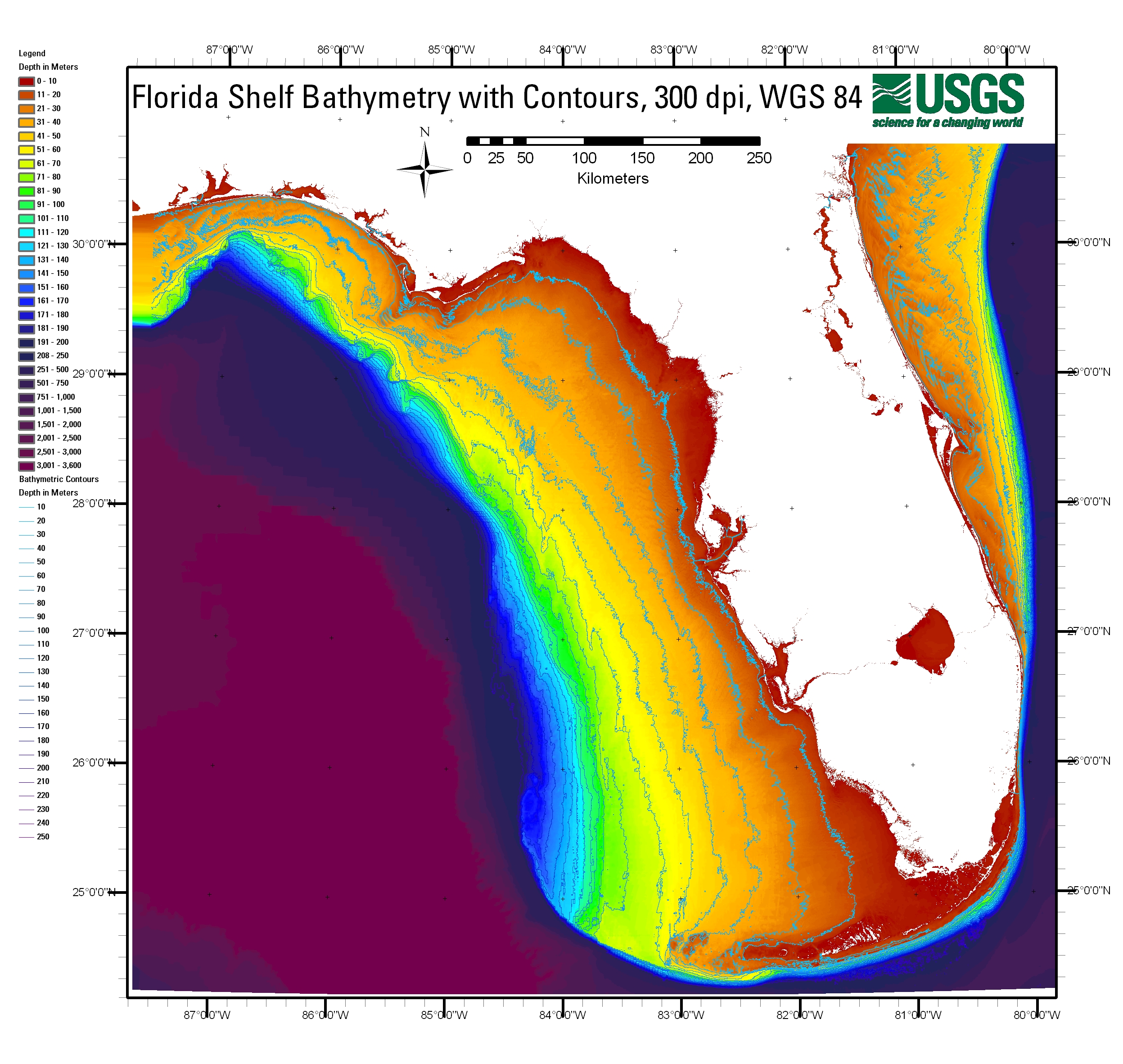
Like Helene did in Big Bend, Milton is expected to bulldoze ashore a storm surge of perhaps 15 feet along Florida’s west coast. That’s in part a consequence of the gentle slope from the coast out into the Gulf of Mexico: If the water were deeper, the storm surge could flow into the depths. But in this case, the storm surge has nowhere to go but inland. The surge in Tampa Bay could be especially dangerous, since it acts like an overflowing bowl.
As a result, the National Weather Service is warning that Milton could be the worst storm to hit the Tampa area in more than a century. Milton might not just be an immediate emergency for Florida — it could well be a harbinger of the supercharged hurricanes to come.
Source link
Matt Simon grist.org

