

The second day of my class trip to Bangladesh was mostly travel. We started by crossing the 4.8 km long Jamuna Bridge to drive to the Sirajganj Hardpoint, an embankment protecting the town of the same name. The river had been shifting westward, threatening the town and causing failures on the embankment. Bangladesh filled in the land north and south of the embankment to even out the shoreline, and now the river has shifted away. The sand bars block access by boat, so the embankment was a lot quieter than a decade ago when I first visited here. Still, we got a nice overview of the river and the chars that we visited the day before.
We then had a long drive to Kushtia on the bus. We spent the day driving west across the countryside with rice, corn and vegetable fields, with those not fasting for Ramadan eating our packet lunch on the way. We drove past Bangladesh’s first nuclear power plant, currently undergoing testing, and crossed the Ganges River. On the other side, we drove through Kushtia to the tomb of Lalon Shah, a mystic poet, philosopher and social reformer who is considered an exemplar of Bangla culture. We heard one of his songs in the music performance the night before. At the shrine, some of his followers performed a few of his songs for us.

Next, we headed to where the Gorai River splits off from the Ganges. The Gorai is a major river bringing fresh water to southwest Bangladesh, but now during the low water flow in the winter, it needs to be dredged to be kept open and flowing. This is due to a combination of natural and human changes. The main Ganges channel shifted east from the Hooghly River in India between 1550 and 1650. As a result, many of the distributary rivers that branch off from it, such as the Gorai, have been in decline ever since. In addition, India built the Farakka barrage to divert water into the Hooghly to keep it open, decreasing the dry season flow into Bangladesh.

We hiked past the embankment over the hundreds of meters of sand that has been dredged and deposited along the riverside. In fact, there was dredging doing on while we were there and we had to ford the small river it made to get to the where we could see the actual Gorai River. We stayed until we needed to get to our new hotel to check in before iftar.

In the morning, we went to Shilaidaha Kuthibari, the family home of writer, poet philosopher and artist Rabindranath Tagore, winner of the 1913 Nobel Prize for Literature. His poems are the text of the national anthems of both Bangladesh and India. He came from a wealthy zamindar family, collecting taxes from a large estate around his home. Even though he lived a century ago, you could see the contrast in his living standard to many of the villagers we were meeting. His family wealth allowed him the freedom to write and pursue his interests.
We then traveled back to the Gorai River where my students interviewed the people living on a char that is attached to the mainland just outside the embankment. I listened in to a few of the interviews then joined Mahfuz Khan and my daughter Elizabeth near the local Hindu temple. Since they are not fasting, they fed us fresh watermelon and rock apple. Elizabeth joined the local kids in playing games.

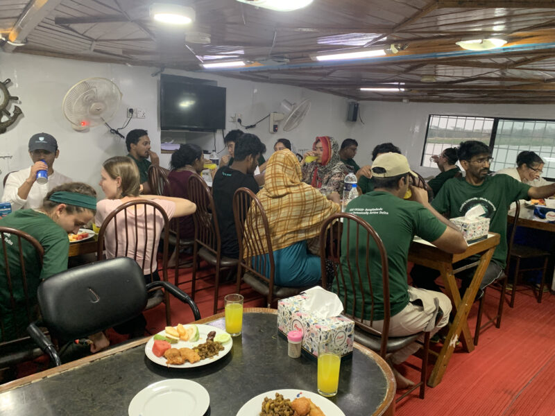
By mid-afternoon we had to stop for the long drive to Khulna to join our boat, the M/V Kokilmoni; the drive was made longer by a flat tire. We went for iftar at a local restaurant in the city of Jessore, then continued on to Khulna. At the ghat (dock) we climbed onto the wooden country boat to take us to our larger boat. We joined Tapas and Sakib, who work at BRAC, the world’s largest NGO, and are part of a project with me. They traveled from Dhaka and reached the boat earlier in the day. We ended the day with a late (10 pm) dinner as the boat started heading south.

The next morning, the boat reached our first destinations, Sreenagar and Suterkhali on Polder 32. Bangladesh used the Dutch term polder for the embanked islands in the coastal delta. The embankments were built in the ’60s and ’70s to improve agriculture, and they initially worked well. However, the embankments cut off the sediment supply to the interior of the islands, which were needed to counteract the land subsidence. All deltas are now sinking, and without sufficient sediment to balance it, land is lost or waterlogged. This is a major problem in the Mississippi Delta, currently losing a football field every 100 minutes. Furthermore, at Polder 32, the embankment was breached by Cyclone Aila in 2009, and the elevation loss meant that it was flooded every high tide for 10 hours for almost 2 years. The 10,000 families in the area had to live on the embankment wall during that time until the repairs were completed.

Since it was low tide, there was no good landing place for the boat that didn’t require walking through deep mud. We continued to Suterkhali, where a forestry station offered a good ghat. Here, we first visited a shrimp farm, extensively developed in the more waterlogged polders. We found the commercial shrimp farm abandoned as the owners were aligned with Sheikh Hasina and the Awami league that was ousted in the July Uprising that overthrew the government.

We continued on to the village for interviews for the rest of the morning, but went back to the boat for lunch and a rest as we were struggling with the 100°F temperature of the heat wave. In the afternoon, after a long break, most of us went to Sreenagar, with a few of the people fasting for Ramadan staying behind. Kazi Matin and I showed the group our rod surface elevation table (RSET) for measuring subsidence here and at the abandoned managed aquifer recharge (MAR) site. This was set up to store monsoon water underground for use in the dry season, but could not manage financially once the NGO funding ran out. Since the groundwater here is saline, there is a serious problem with having sufficient drinking water toward the end of the dry season. Unlike farther north, most of the fields were fallow, as there is no fresh water for irrigation during the dry season.

After discussions at the RSET and MAR site, Elizabeth and I went to the Krishna family who hosts the RSET sites for Carol Wilson of LSU. We recognized each other from my previous visits with Carol. They welcomed us with open arms and gave us tamarind and coconut water. They adopted Elizabeth as “Little Carol.” After my students completed their interviews, we headed back to the Kokilmoni in time for iftar, while the boat started along the way to the Sundarban Mangrove Forest.


Source link
Mike Steckler news.climate.columbia.edu