
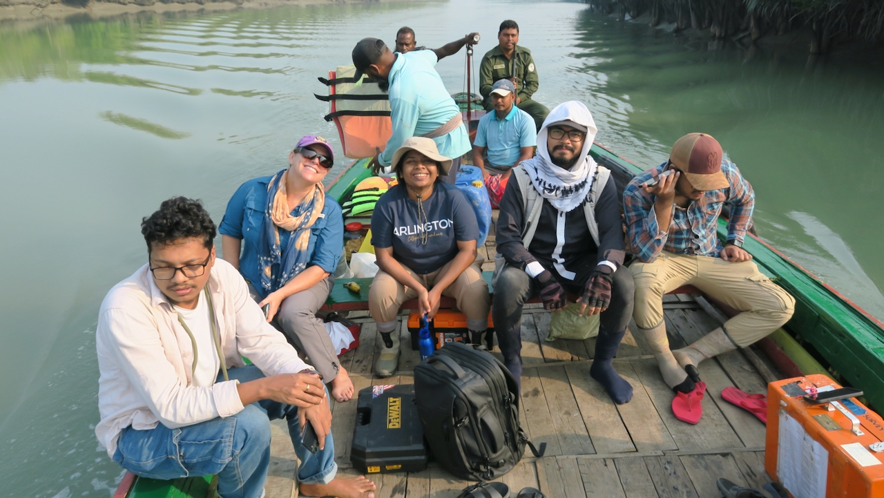
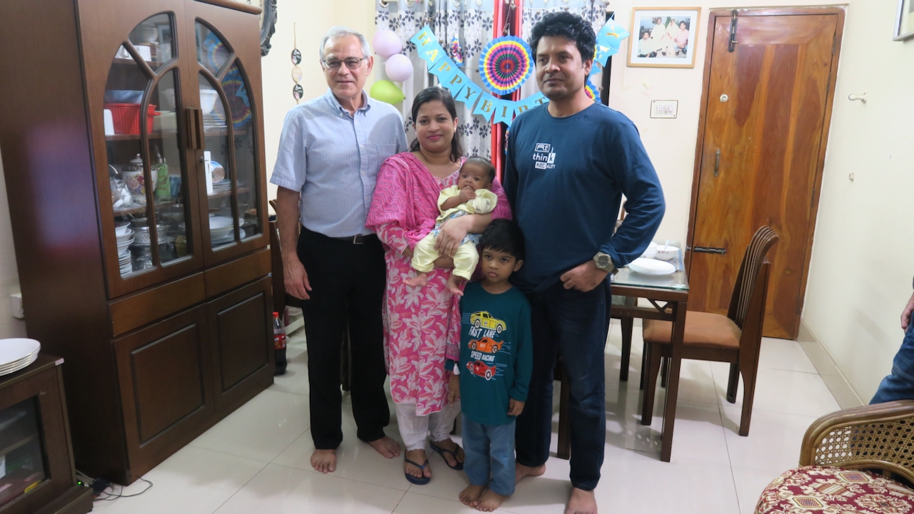
I am continuing to travel around the coastal zone of the Ganges-Brahmaputra Delta in Bangladesh repairing GNSS (GPS) instruments. The future sustainability of the delta depends on the balance of sea level rise, the sinking, or subsidence, of the land, and the deposition of sediments that can help maintain the land. My GNSS instruments can measure the subsidence of the delta to better than 1 mm/year. Our instruments are co-located with RSET-MH (rod surface elevation tables-marker horizons) that measure elevation change and sedimentation rates. My team and the RSET team, led by Carol Wilson of Louisiana State University, are traveling together by boat to access our more remote sites.
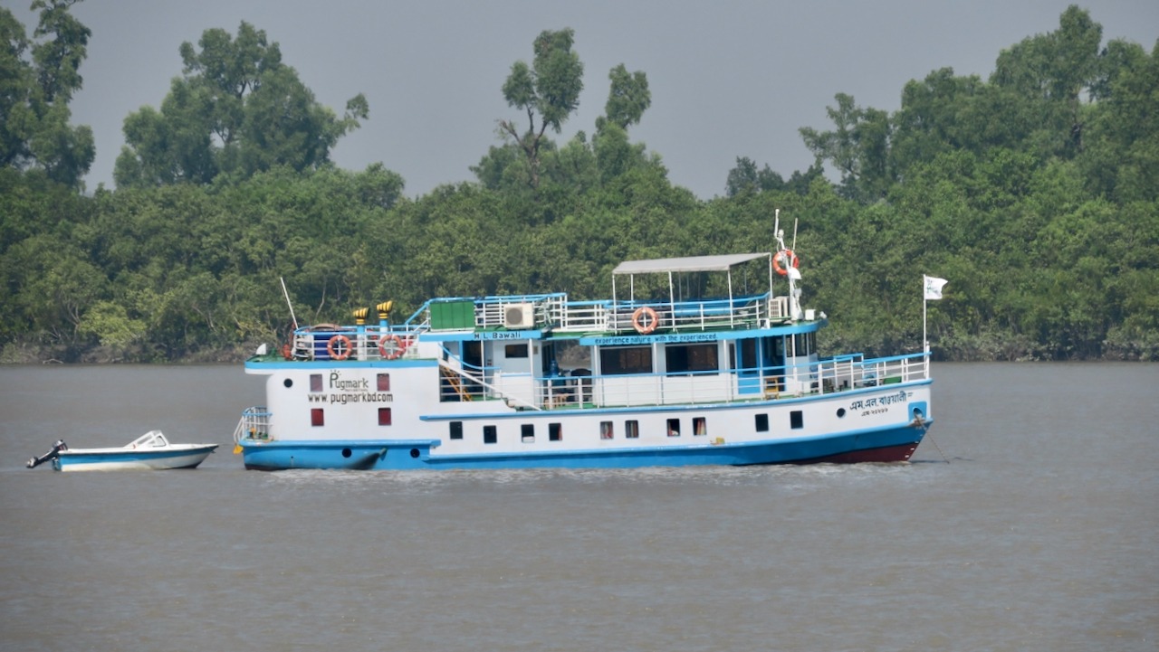
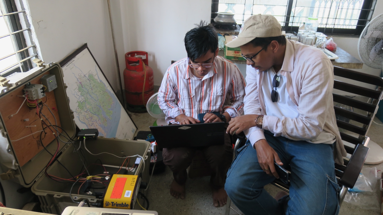
We are on the M/V Bawali, a 60-foot tourist boat with six cabins for the eight of us. This is my sixth time sailing on her. Our first stop is Jorshing, a village difficult to reach by car. We sailed mainly overnight so we could get to work in the morning. Our site is at an elementary school with the receiver box off an office. One of the RSETs is in a field behind the school. With growing experience, Zohur was able to upgrade and reprogram the modem, despite the weak cellular network. However, after completing the work, the receiver was not seeing any satellites, so he started checking everything.
When Sanju went up on the roof, he was followed by a mob of kids excited to get to a place that is normally locked. He confirmed that the cable to the antenna was not getting any power. Tracing the cable back, I found that the connection at the pass-through at the back of the box was loose. After tightening it, we started picking up satellites.
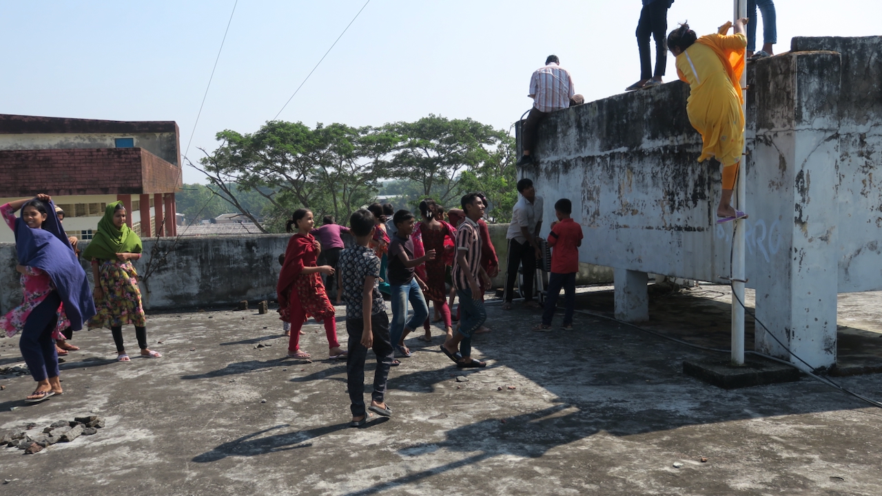
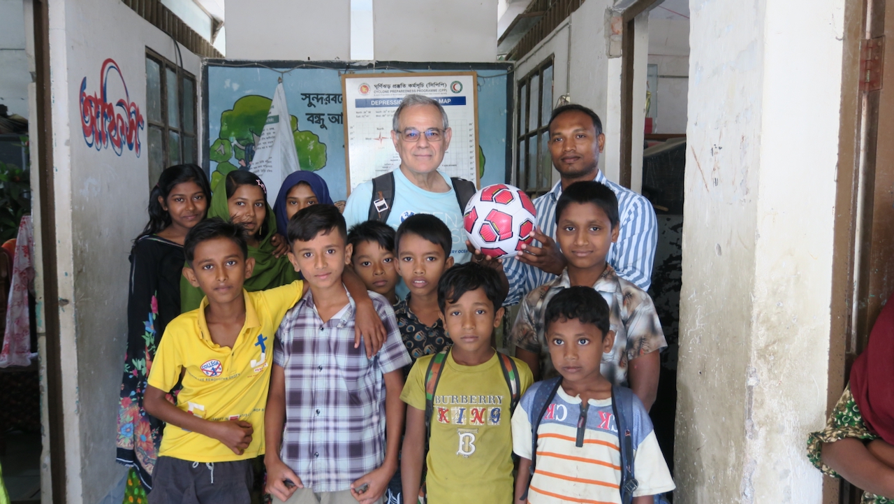
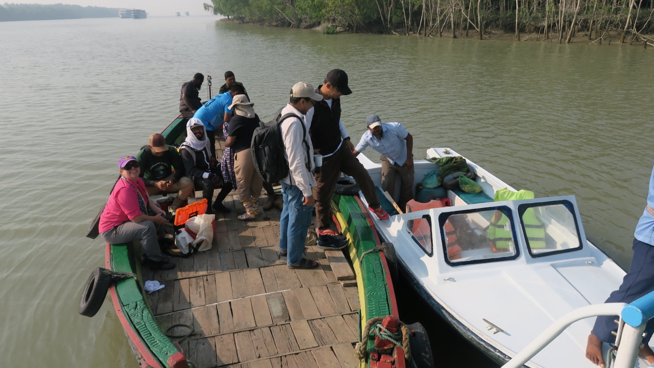
Now that we were finished, we gave the last of Adam’s soccer balls to the kids. The girls grabbed it and ran off, kicking it around the schoolyard and keeping it from the boys. The RSET team finished first and headed off to their other site, where there had been construction of a new embankment disturbing the site. In fact, the workers had tried to remove it and couldn’t because the rod was 80 feet long. The major disturbance means that the group has to treat it as a new site, as its elevation is completely shifted from before. Since they took the country boat, we used the speedboat to get back to the Bawali.
Our last two sites are close to the coast in the Sundarbans Mangrove Forest, the largest in the world with two-thirds in Bangladesh and one-third in West Bengal, India. Because of tigers, we always have to be accompanied by armed guards when we go there.
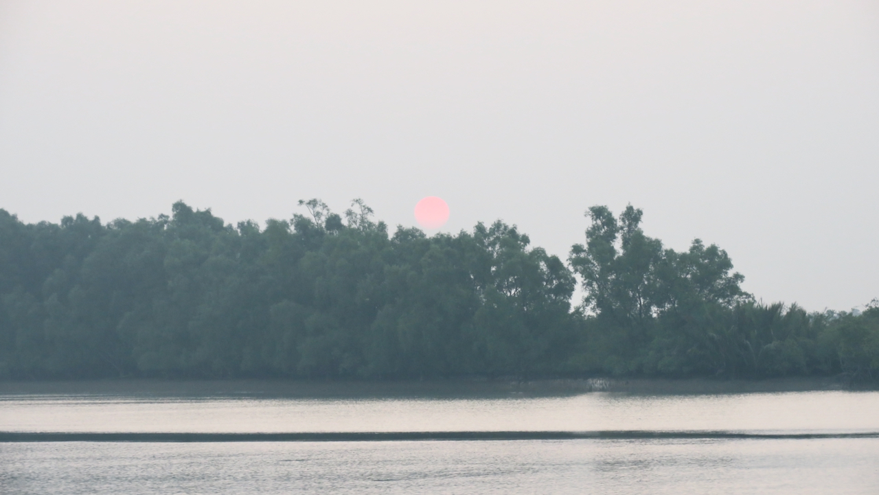
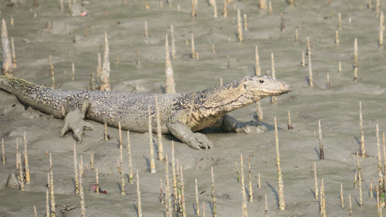
We waited for the tides to be right and then sailed to Hiron Point, a World Heritage Site, arriving in the morning after watching the sunrise. Because some of the area around Hiron Point had been silting up, the Bawali stopped north of Hiron Point and we all took the country boat through small winding tidal channels for an hour to get to our sites. There were some clear pugmarks—tiger footprints—near the start of the trip, but none near our destination.
Our GNSS station, HRNP, had been offline since March and the batteries were not charging. We also found that the receiver kept freezing up and not responding to commands. Sanju discovered what had happened. Someone had pushed the cable and the metal lightening protector hit the positive terminal of the battery, shorting it out. The battery was dead and the receiver fried. The receiver had been running since 2012; now it’s a paperweight. We changed the battery and swapped the receiver to one of the backups that we brought. We also made sure that this couldn’t happen again, rearranging the equipment in the box and covering all exposed power points with covers or tape.
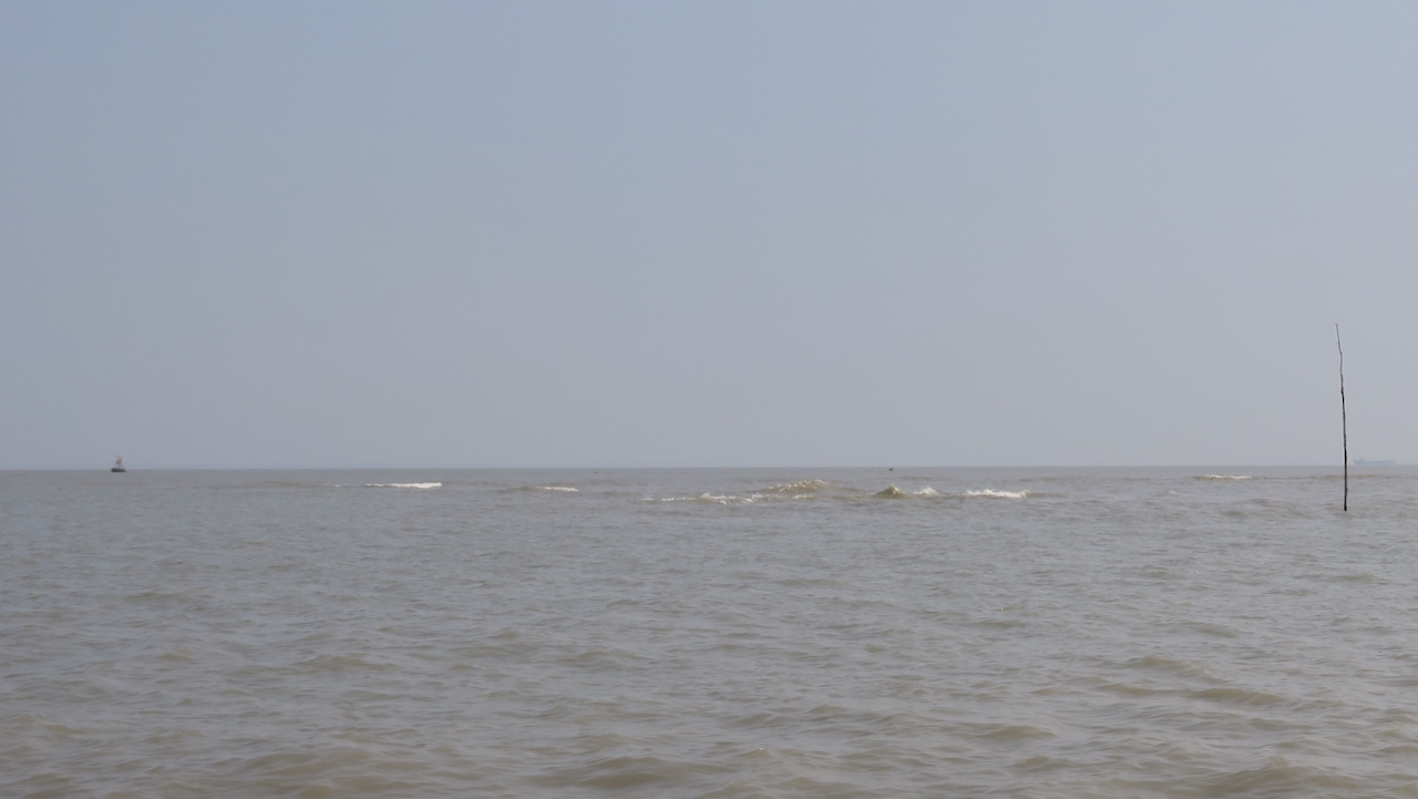
When we were all done, we sailed out the Bawali waiting in the 10-km wide channel of the Pusur River. It stood quite a way off the coast as this area has been silting in. We sailed past waves breaking, indicating shallow shoals to be avoided. Once we were all on board, the Bawali sailed through the Sundarbans to my last stop.
Carol has RSETs at Katka, a tourist area with a lot of wildlife that I take the students in my class to. However, I don’t have a GNSS stations paired with it, but have long wanted to add one. Unfortunately, the buildings at the forest station here were destroyed by Cyclone Sidr in 2007. I don’t want to put my stations on any of the newer buildings that are being constructed because the subsidence I would measure could just be the settling of the building.
I settled on another forest station, Kochikhali, about three miles away. To reach it, my team used the speedboat. To avoid going across the open ocean, the shortest route, we instead took a winding path through the forest for an hour covering 15 miles. We did see a couple of crocodiles along the way. We arrived with the paperwork from the Forestry Department giving us permission and learned that the most suitable building, unbeknownst to us, had been leased to the Coast Guard. Sanju, who is good at talking his way into anything, tried his best, and we made use of contacts from Dhaka University, the Survey of Bangladesh, and others, but protocol would not let us have permission without a written request.
The RSET team, who joined us when they were done with their work, had a nice beach walk in the afternoon while we waited, hoping we could pull it off. By the end of the day, everyone up to the commandant of the Coast Guard knew about what we wanted to do. They were sympathetic, but we would have to wait until the paperwork comes through. Then Sanju and Zohur could travel here on their own to do the installation.
At 10 p.m., we headed back north and west to the Pusur River. Carol and her team are going to Polder 32 where they have 8 RSETs, four on the island and four in the adjacent Sundarbans, which will take multiple days to measure. My GNSS on Polder 32 is working fine, so there is no need for me to visit it. Instead, Sanju, Zohur and I will begin the last leg of our trip.
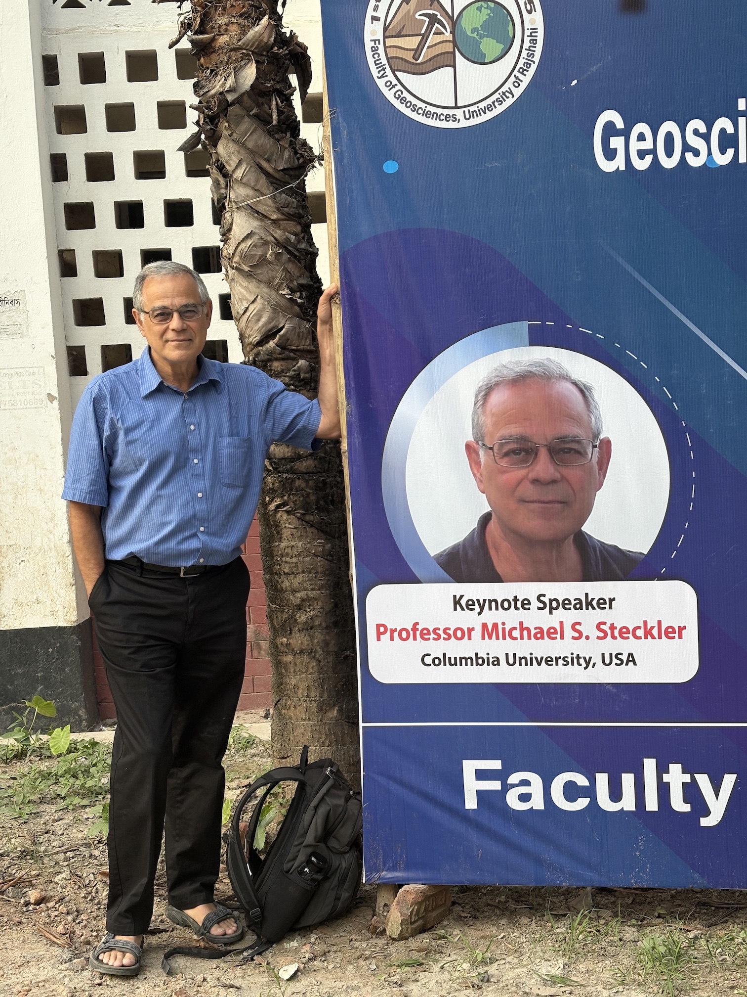
I have been invited to be the keynote speaker at a conference at the University of Rajshahi in NW Bangladesh. While there, we will also reinstall a GNSS we had there many years ago. In the stable part of Bangladesh, it will act as a good reference site. We said farewell to everyone at Pankhali, where a car was waiting for us. We decided to only drive as far as Kushtia, near the Ganges River, a six-hour trip. We will stay there and drive the last three hours the following morning.
The two-day conference is the First International Conference on Geosciences for Achieving Sustainable Development Goals. My connection to the department is through Abdullah al-Maruf, a social scientist at the Department of Geography, who spent nine months at Lamont as a Fulbright fellow. Following my keynote and other introductory talks, there was a plenary session. The remaining day-and-a-half consisted of up to six simultaneous sessions ranging from geology, geomorphology and hydrology to climate change impacts, vulnerability and adaptation. Having worked in Bangladesh for so long, I was treated like a rock star. I’ve never had so many photos and selfies with people throughout the meeting and especially at the gala dinner the first night.
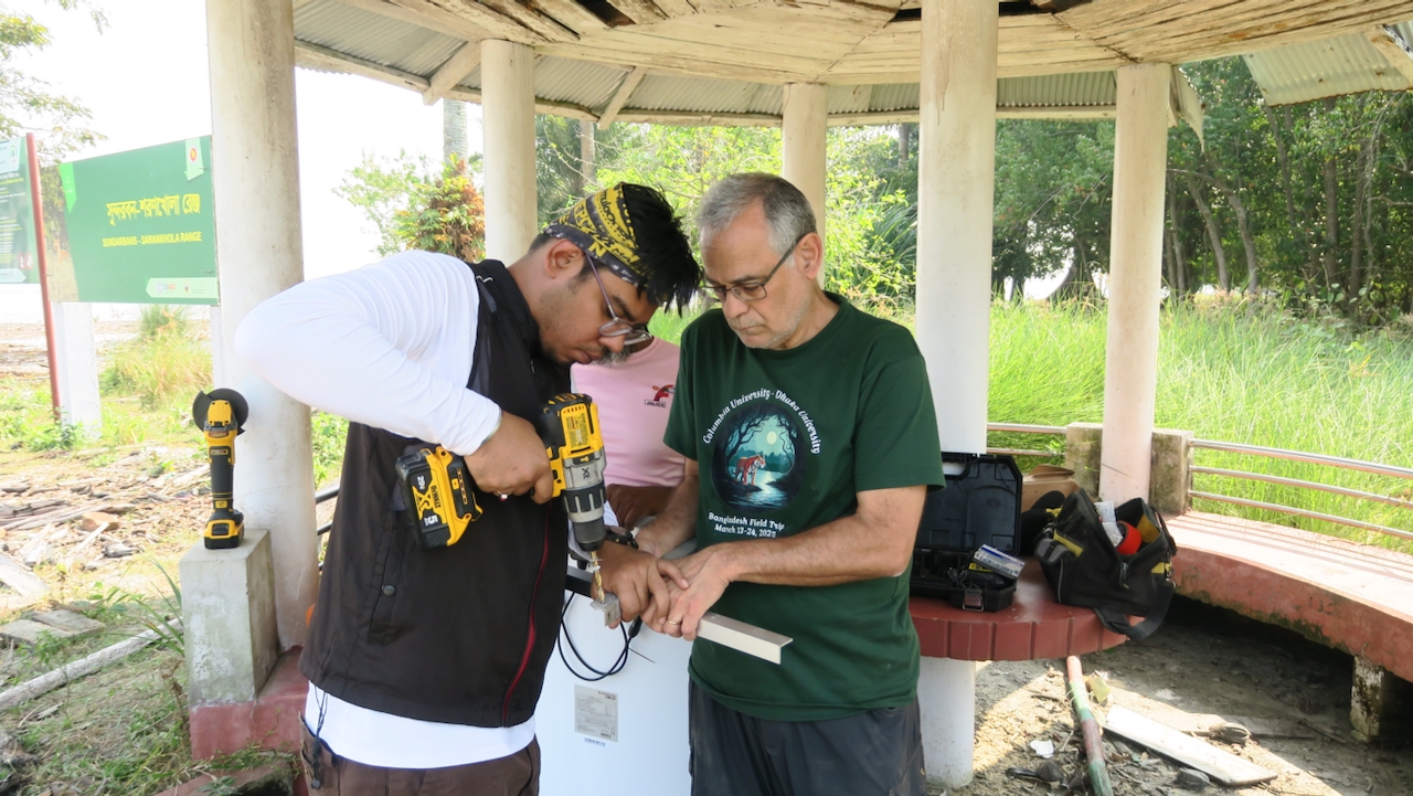
While we were here, we also restored a GNSS station at Rajshahi University. Installed with a low budget, the receiver was already obsolete when it was installed in 2003. It lasted until 2009, but the threaded rod that was epoxied on to the roof was still there and useable. Far from the tectonics in the east and the coastal zone to the south, RAJS will act as a more stable reference site. We visited the site the afternoon we arrived and started the install on the afternoon of the second day of the conference, finishing it the next morning. The critical part was making sure we knew the position of the new antenna relative to the reference point from the old antenna. We bolted the solar panel to the roof and set up the equipment box, aided by Binti, a senior in the geology department who is interested in what we are doing. We slid it under the solar panel to protect it from the sun. While Sanju, Zohur and Binti finished the installation by adding a grounding rod, I gave a talk to the students from the geography and geology departments.
After lunch, it was time for the six-hour drive back to Dhaka and the airport for me to return home. I spent almost a month here, visiting most of my 19 now-active GNSS sites and having meetings in Dhaka. When I arrived, only three were both collecting data and transmitting it back to the U.S. Now 15 are doing that. Two more are collecting data and storing it internally. One is not working, we think because of a loose wire. The last one is waiting for permission. Sanju will visit and complete the work on two of the sites in the next week. He and Zohur will travel with a smaller boat to Kochikhali to install that site when the permission comes through. Baintola, with its terrible roads, will wait until the RSET team visits here in the fall. Overall, I am quite satisfied with what we accomplished and feel like Adam, the engineer who joined us for the first part of the trip, trained us sufficiently to be able to repair and install instruments on our own. As a bonus, the successful meeting will result in new research and new proposals when I get home, exhausted but satisfied.
Source link
Mike Steckler news.climate.columbia.edu